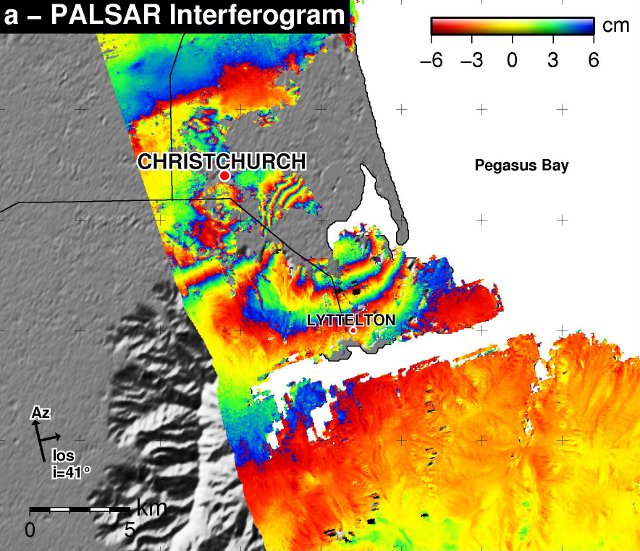
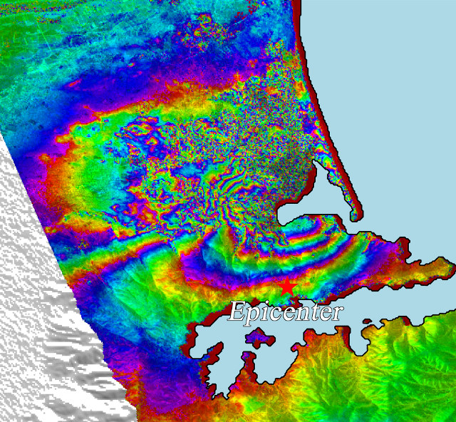
The PALSAR instrument aboard the Japanese Advanced Land Observing Satellite (ALOS) has produced some imagery of the Christchurch earthquake.
 The ALOS-PALSAR instrument is an interferometer (technically an InSAR instrument) that measures the height between the satellite and the ground. The coloured bands show the variation in the height of the ground. One complete cycle of colour shows a displacement of the ground from −6 cm to +6 cm from the position it “should” be in.

Where bands are closely packed together the displacement of the ground is varying a great deal in a small distance, usually leading to greater destruction.
notice that, in contrast to other earthquake images from the same satellite, in this case there are ground height changes for hundreds of km. something big is happening under NZ